The many and often unnoticed ways in which we are connected to the world around us is an issue that runs through this practice. One way of examining how we are connected to each other is through maps. A common and traditional style of mapping is to display a country or group of countries together, as they exist relatively in physical space and highlighting their borders both natural and contrived. This is often referred to as a political map. But globalization, rapid mass transit, the internet and a litany of other modern realities call into question the traditional understanding of what a border is and how it works. Our next door neighbour in space may not be our next door neighbour in trade, or in cultural affinity or political allegiance; and realities on the ground in one state may have direct and far reaching consequences for another, though it may lay on the opposite side of the globe. The Quasi-Political map attempts to represent these more unintuitive relationships by taking specific groups of states or political entities and laying them down one on top of the other. In this way, their borders intersect and intertwine - sometimes harmoniously and sometimes jarringly in one interconnected network.
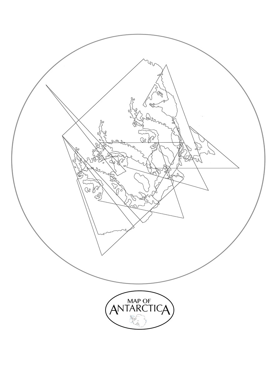
Ross Kelly, Quasi-Political Map of Antarctica (By Territorial Claim), 2014, Poster, Various Dimensions
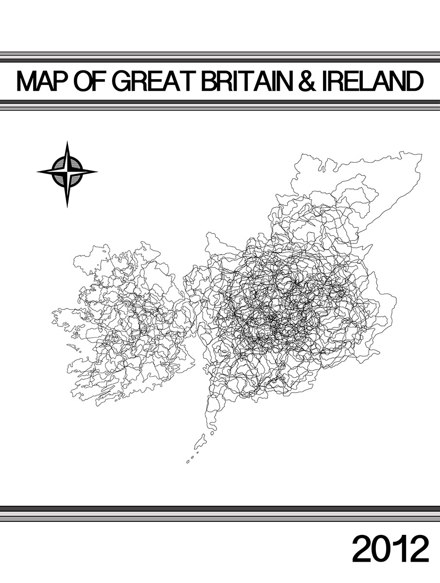
Ross Kelly, Quasi-Political Map of Great Britain & Ireland (By County), 2014, Poster, Various Dimensions
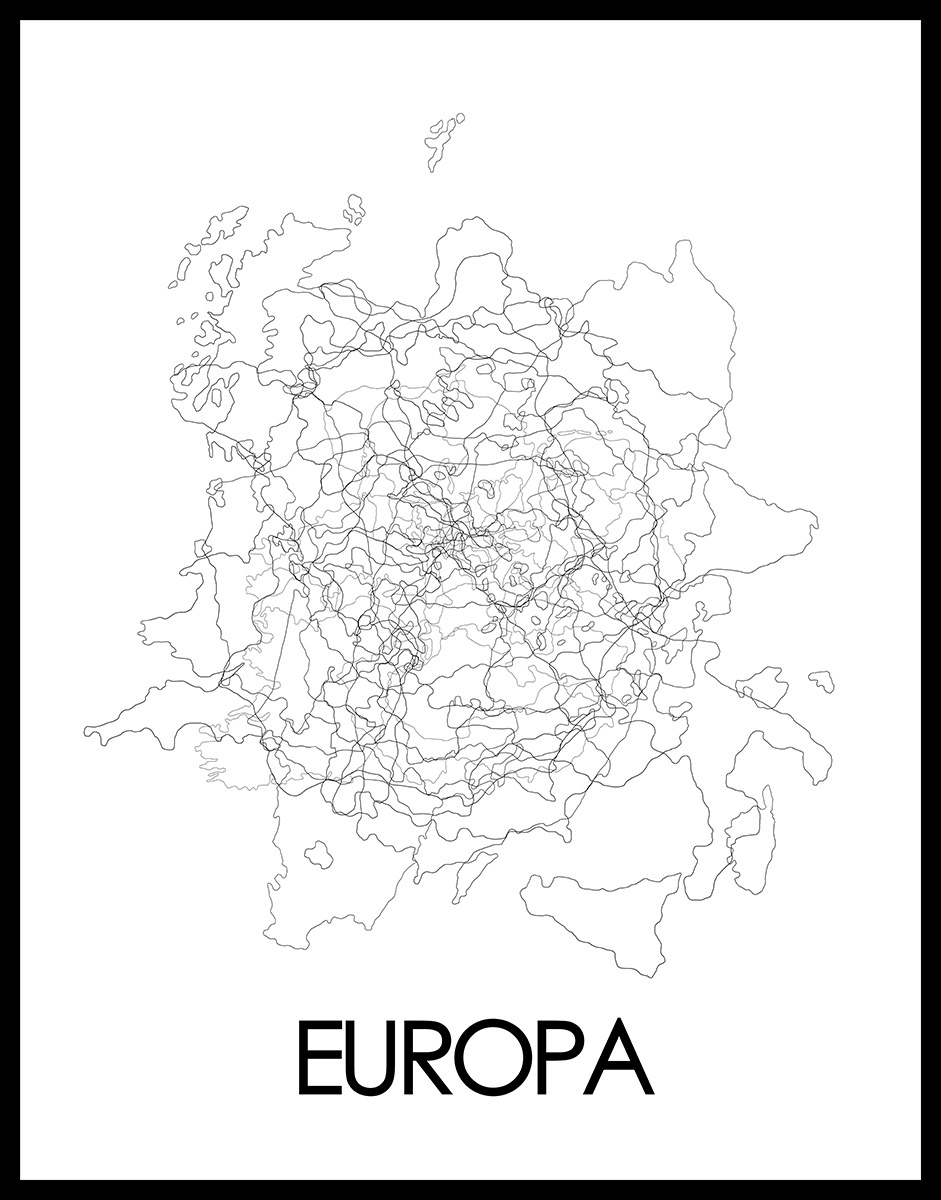
Ross Kelly, Quasi-Political Map of The European Union (By Member State), 2014, Poster, Various Dimensions
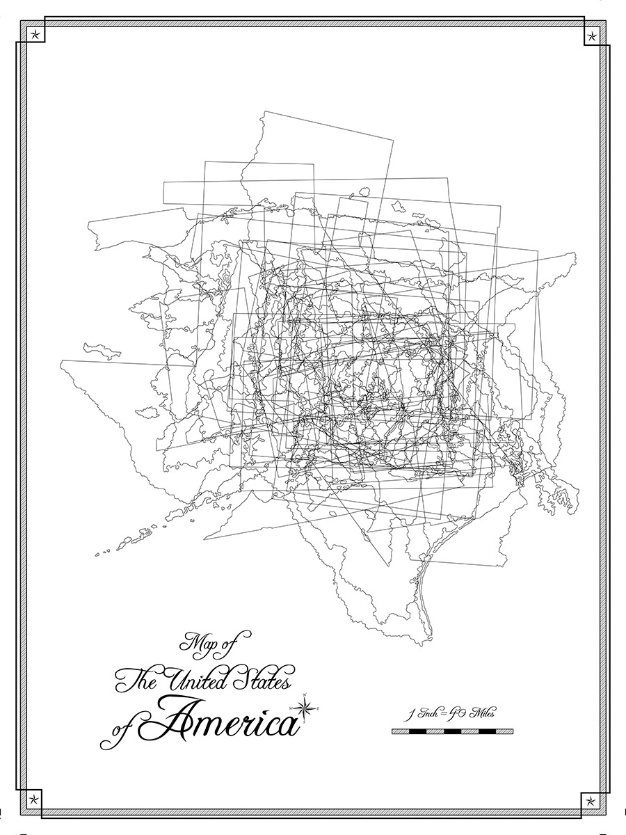
Ross Kelly, Quasi-Political Map of The United States of America (By State), 2014, Poster, Various Dimensions

Ross Kelly, Quasi-Political Map of China (By Province), 2014, Poster, Various Dimensions
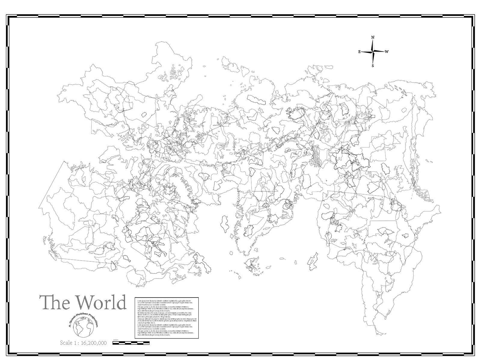
Ross Kelly, Quasi-Political Map of The World (By Country), 2014, Poster, Various Dimensions
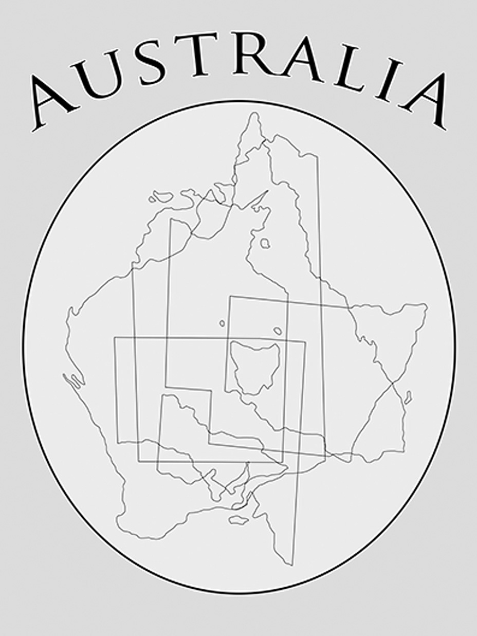
Ross Kelly, Quasi-Political Map of Australia (By State), 2014, Poster, Various Dimensions